Odds and Ends #15: Look at these cool transport graphs and diagrams
A special issue of Odds and Ends for the ultra-nerds
Hello! It’s time again for Odds and Ends, your weekly round-up of interesting links, shorter takes and other bits and pieces that I think you’ll find interesting.
Before we begin, don’t forget to check out the two big pieces I’ve already published this week, if you haven’t already. I started the week by arguing that (seriously) the British government should buy Twitter. And yesterday I waded into controversial territory, arguing that people on the left shouldn’t be “Intellectual Zambonis”, and jump through hoops to rationalise obviously crazy claims from their ideological allies.
Anyway, on a less heated note this week’s round-up is what I’m calling a special edition. Because instead of rounding up cool stuff other people have done, I'm going to focus on some interesting tidbits that I’ve dug up instead. Don’t say that I don’t spoil you.
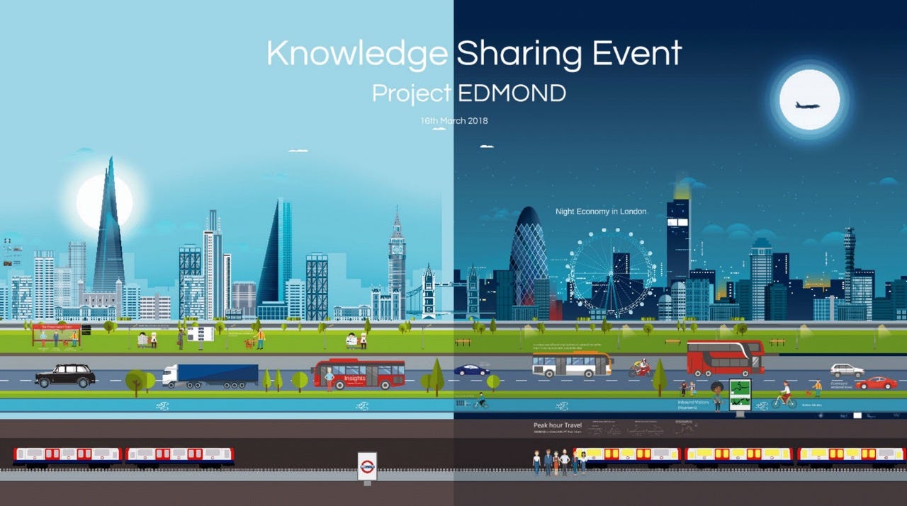
So read on to learn about the impact AI is having on Manchester’s road network, and to see another cache of fascinating diagrams, maps and charts from Transport for London’s mobile phone tracking programme, dubbed Project EDMOND, which I first wrote about a few weeks ago.
Now is a great to become a paying subscribe because you’ll get to see all of this cool stuff. And if you value my work, it’s a great way to help me carve out the time to write and work on this Substack.
Keep reading with a 7-day free trial
Subscribe to Odds and Ends of History to keep reading this post and get 7 days of free access to the full post archives.


